





Oxford Technical Solutions (OxTS) is a world-leading manufacturer of inertial navigation systems (INS).
Oxford Technical Solutions (OxTS) is a world-leading manufacturer of GNSS-aided inertial navigation (INS) systems for the automotive and surveying industries.
Applications include ADAS testing , autonomous testing, and vehicle dynamic testing.
Achieve confident results with INS / GNSS solutions .
OxTS enables automotive engineers to accurately measure “position,” “direction,” and “dynamics” in all environments.
It is a powerful tool because it can identify the measurements necessary for NCAP testing .
Applications include ADAS testing , autonomous testing, and vehicle dynamic testing.
Measure results with confidence using INS / GNSS solutions.
OxTS enables automotive engineers to accurately measure “position,” “direction,” and “dynamics” in all environments.
It is a powerful tool because it can identify the measurements necessary for NCAP testing .
Oxford Technical Solutions (OxTS)
is a world-leading manufacturer of GNSS-aided inertial navigation systems (INS) for automotive and survey industries.
Application includes ADAS testing, Autonomous
Testing, Vehicle Dynamic Testing
Measure with confidence with INS/GNSS solutions.
OxTS are able to provide automotive engineers with the ability to
accurately measure POSITION, ORIENTATION and DYNAMICS in all
environments.
It is a powerful tool because it can extract the measurements
required for the NCAP test.
Product
-
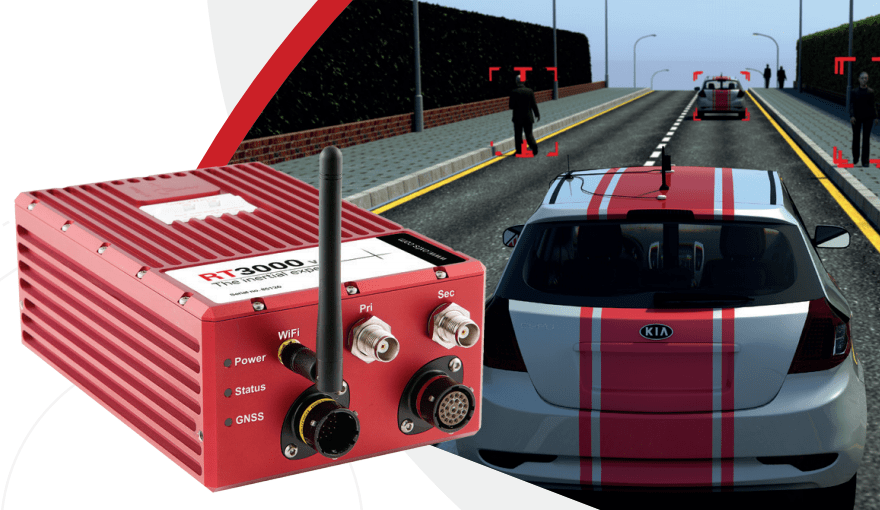
Global Navigation Satellite System (GNSS) and Inertial Navigation System (INS)
-
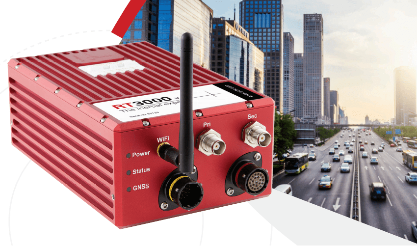
-
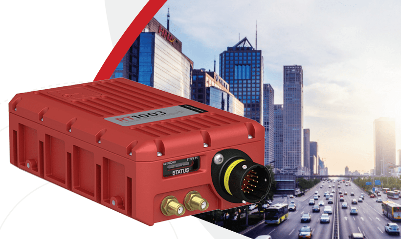
-
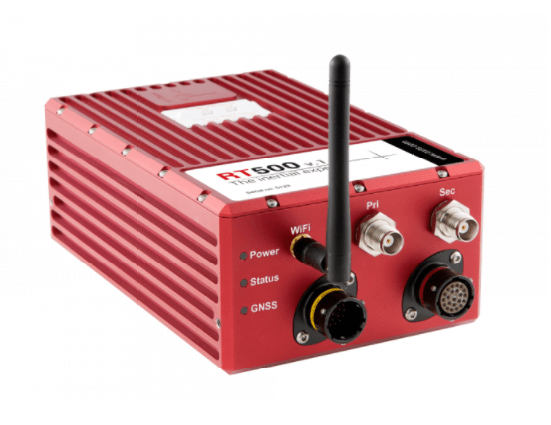
-
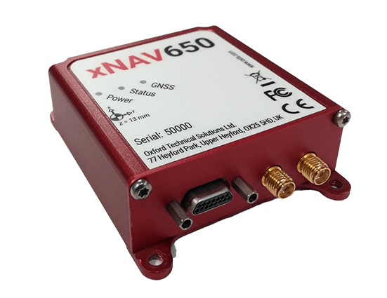
Integrating a state-of-the-art MEMS IMU sensor with a survey-grade GNSS receiver.
-

gx/ix™ tight-coupling processing
Integrating a state-of-the-art MEMS IMU sensor with a survey-grade GNSS receiver.
–>

ADAS
An inertial navigation system (INS) is a navigation device that uses a computer, motion sensors (accelerometers) and rotation sensors (gyroscopes) to continuously calculate by dead reckoning the position, the orientation, and the velocity (direction and speed of movement) of a moving

Inertial navigation system
An inertial navigation system is a navigation device that uses a computer, motion sensors and rotation sensors to continuously calculate by dead reckoning the position, the orientation, and the velocity of a moving object

GNSS
GNSS stands for Global Navigation Satellite System, and is the standard generic term for satellite navigation systems that provide autonomous geo-spatial
positioning with global coverage.
This term includes the GPS, GLONASS, Galileo, BEIDOU and other regional systems.
>>> Manufacturer’s Website <<<
We are an official distributor of OxTS.