



This website uses cookies so that we can provide you with the best user experience possible. Cookie information is stored in your browser and performs functions such as recognising you when you return to our website and helping our team to understand which sections of the website you find most interesting and useful.


Products
The products listed here are for overseas markets, not for Japan domestic.

- Electronic Measuring Instruments
- Automotive Performance Testing
- OXTS GNSS / INS xNAV650
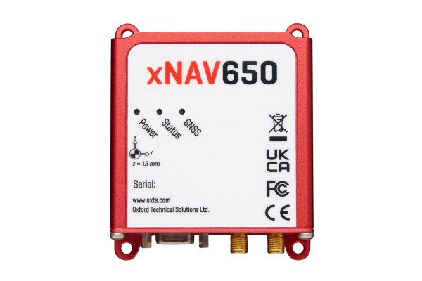
Small, high performance inertial navigation system ideal for survey and mapping applications
If you need highly accurate localisation data but size, weight and power (SWaP) are important, OXTS’ xNAV650 is a great value inertial navigation system that balances, reliability, accuracy and form factor.
Coupled with its compatibility with mapping equipment, including LiDAR scanners, the xNAV650 is ideal for integrating into UAVs and other lightweight mapping payloads.
GNSS(Global Navigation Satellite System) / Inertial Navigation System (INS)
Model:
xNAV650
Maker:
Oxford Technical Solutions Ltd.
Features
- 2 cm position accuracy
- 77 x 63 x 24 mm
- 130 grams
- Optimised for SWaP constraints
- End-to-end software toolchain included
- Economical volume pricing
- ITAR-free; no export licence required
Examples of use
- Building Information
- Modelling (BIM)
- Infrastructure monitoring
- Mining
- Coastal monitoring
- Geographical surveys
- Asset management
- Pipeline exploration
- Land survey
- Road monitoring
Introducing the xNAV650 INS

To view the pdf files, the Adobe Reader from Adobe Systems is required.