
Oxford Technical Solutions (OxTS)
is a world-leading manufacturer of GNSS-aided inertial navigation systems (INS) for automotive and survey industries.
Application includes ADAS testing, Autonomous
Testing, Vehicle Dynamic Testing
Measure with confidence with INS/GNSS solutions.
OxTS are able to provide automotive engineers with the ability to
accurately measure POSITION, ORIENTATION and DYNAMICS in all
environments.
It is a powerful tool because it can extract the measurements
required for the NCAP test.
Product
-
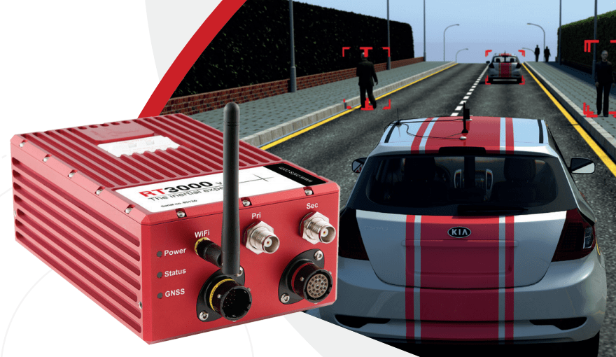
RT Range
Global Satellite Navigation Systems (GNSS) and Inertial Navigation System (INS)
-
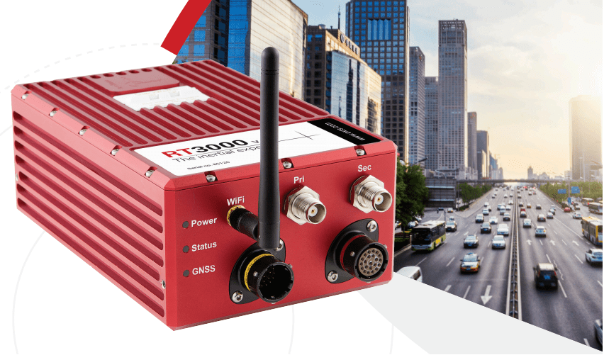
RT3000
Global Satellite Navigation Systems (GNSS) and Inertial Navigation System (INS)
-
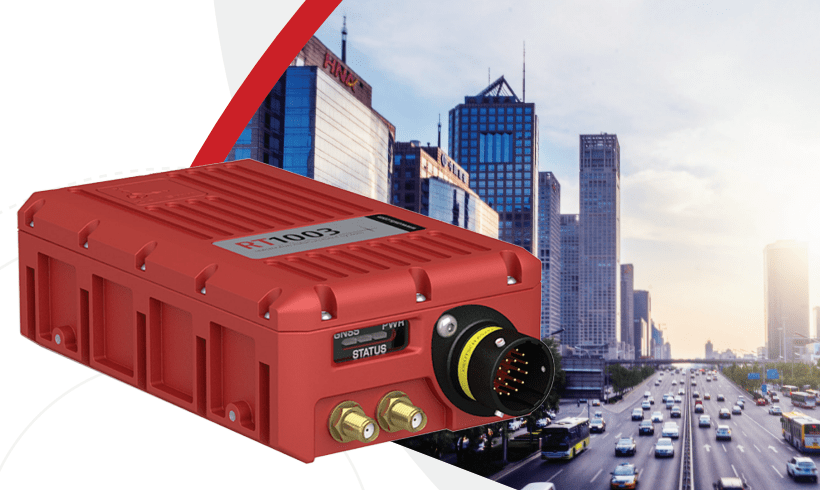
RT1003
Global Satellite Navigation Systems (GNSS) and Inertial Navigation System (INS)
-
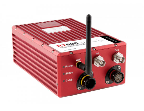
RT500
Inertial Navigation System (INS)
-
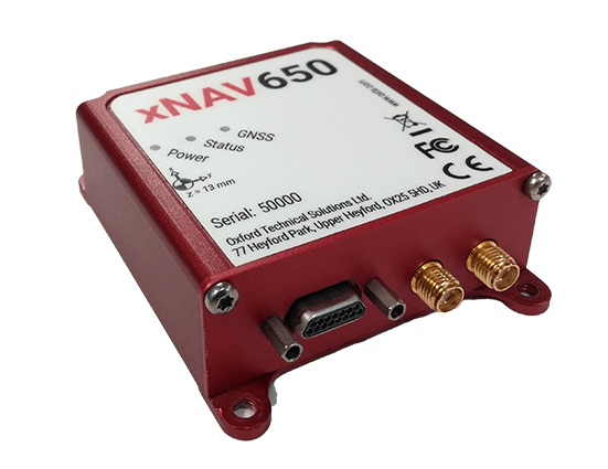
xNAV650
Combining cutting edge MEMS IMU sensors with survey-grade GNSS receivers
-
ADAS
Advanced driver assistance systems is the term used to describe the safety functions designed to improve driver, passenger and pedestrian safety by reducing both the severity and overall number of motor vehicle accidents.It is a collective term for functions that support driving such as controlling a car.
Inertial navigation system
An inertial navigation system is a navigation device that uses a computer, motion sensors and rotation sensors to continuously calculate by dead reckoning the position, the orientation, and the velocity of a moving object
GNSS
GNSS stands for Global Navigation Satellite System, and is the standard generic term for satellite navigation systems that provide autonomous geo-spatial positioning with global coverage.
This term includes the GPS, GLONASS, Galileo, BEIDOU and other regional systems.


