OxTS Georeferencer free trial for 14 days | Singapore Nihon Denkei Co.,Ltd.
NEWS NEWS

TOPICS

News Release

OxTS Georeferencer free trial for 14 days

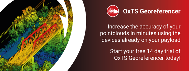
Create accurate pointclouds with a free 14 day trial of OxTS Georeferencer
    Start using OxTS Georeferencer to:

  1. Create accurate 3D pointcloud files (.LAS, .LAZ, .PCD) by combining navigation data from any device with LiDAR data from 39 supported models, including popular brands like Hesai, Velodyne, Ouster, and Livox.
  2. Eliminate blurring and double-vision from pointclouds by using the Boresight Calibration tool to correct misalignment between their LiDAR and navigation devices.
Software version: OxTS Georeferencer 2.5 beta


Get Adobe' Reader'

To view the pdf files, the Adobe Reader from Adobe Systems is required.

If you should have any questions,
please do not hesitate to contact us.

Inquiry

Researched by Shared Research Inc.
about Nihon Denkei Co., Ltd.